
ElasticTracker platform FAQ - How to setup a Geofence area?
Geofences are geographical zones used to track device movement. ElasticTracker can generate events about entering and exiting to these zones.
Geometry
There are three supported geometry types:
Circle

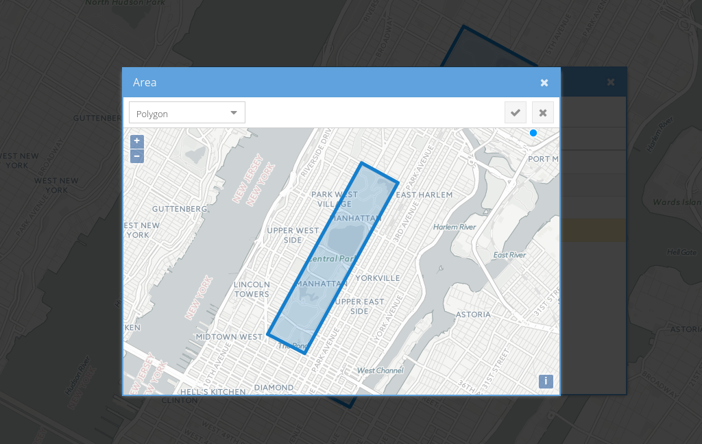
Polygon
Polyline

Permissions
Geofences relationships with other objects is very flexible.
If geofence is linked to a device, it means that ElasticTracker will monitor device entering and exiting that geofence.
If geofence is linked to a group, it means that ElasticTracker will monitor all devices in that group entering and exiting the geofence.
If user has access to a geofence, it means that the user can edit/remove the geofence and can subscribe to the geofence events.
Calendars
Calendars can be linked to geofences. This will limit events generation to the calendar schedule.
Tips and Tricks
Distance around polyline geofence when device considered "inside geofence" can be configured with geofence.polylineDistance configuration parameter (25 meters by default).
Color of a geofence on the map can be set in the geofence attribute colour. Any valid HTML colours are accepted.

If you need control device movement along a pre-defined route, you can use polyline geofence. Also, if you need control when device started and ended the route, you can add additional geofences at the source and at the destination.

Setup Instructions:
Click the "Settings" --> "GeoFences"
Click the "+" button to add new Geofence.

Click the "Area" button.
Click the dropdown list and select the area type.

Draw the Geofence area. Click the "Tick" mark to apply.