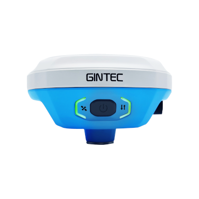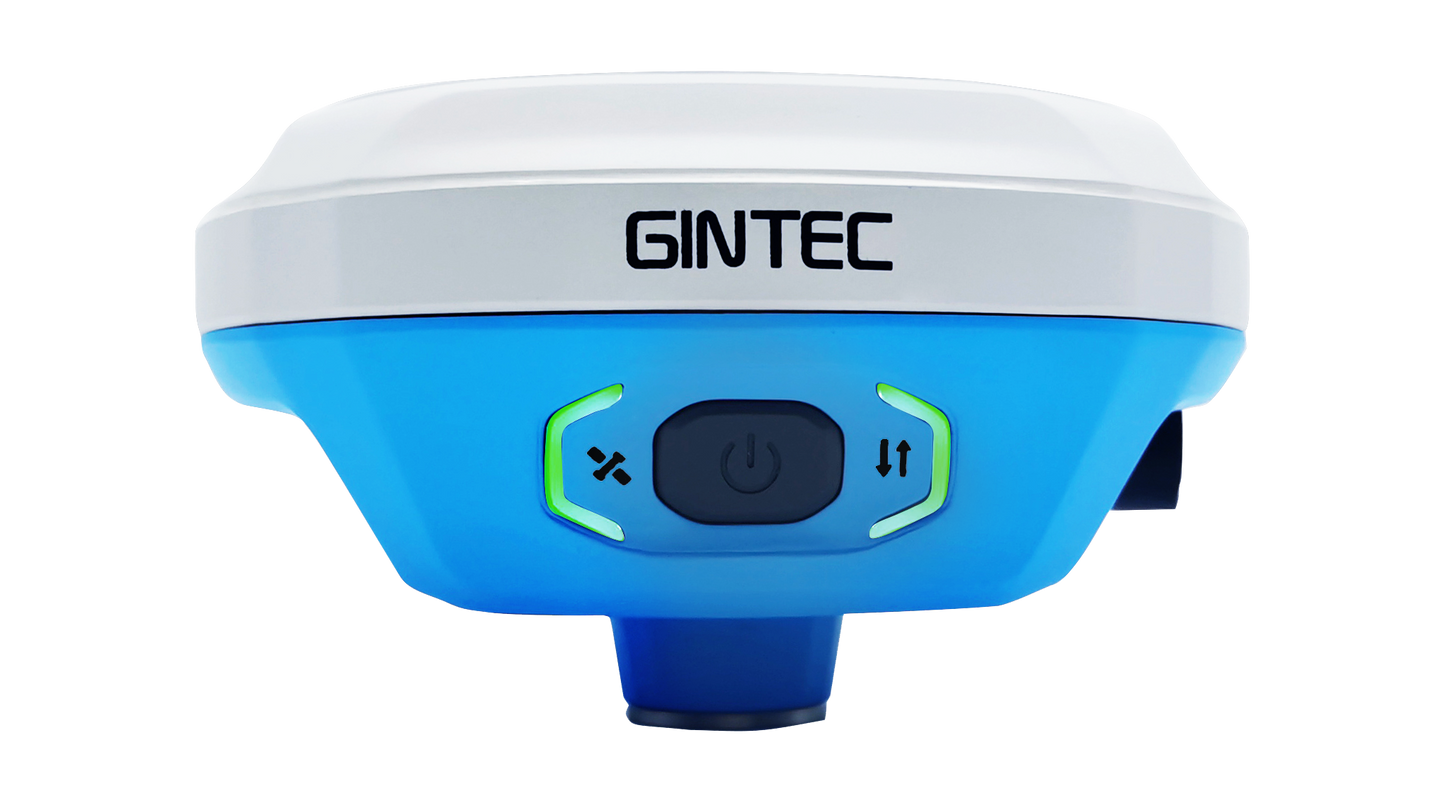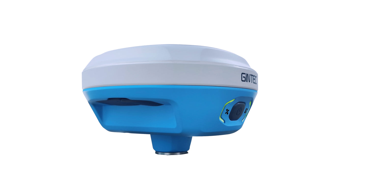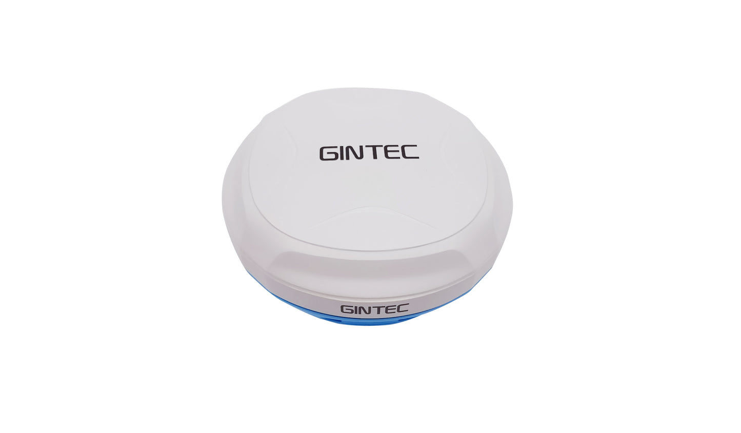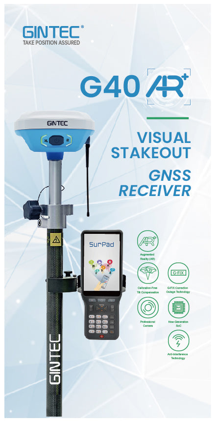


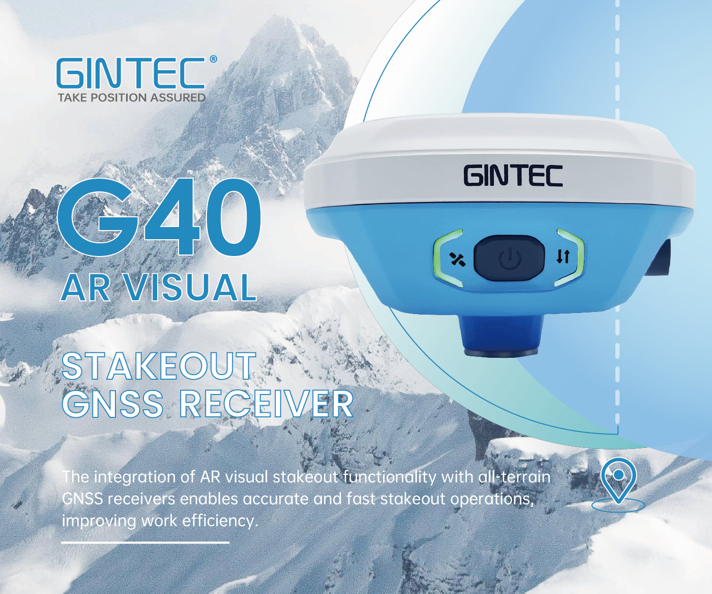
Gintec G40 Survey RTK GNSS Receiver (Triple-band L1, L2 & L5, 1408 Channels, 0.8cm accuracy, AR Visual Stakeout)
Gintec G40 Survey RTK GNSS Receiver (Triple-band L1, L2 & L5, 1408 Channels, 0.8cm accuracy, AR Visual Stakeout)
Country of Origin: China
Couldn't load pickup availability
Volume Discount Table
| Minimum Qty | Discount |
|---|---|
| 2 + | 5% off |
| 5 + | 7% off |
| 10 + | 10% off |
The G40, GINTEC's flagship Survey GNSS receiver, is widely used in many fields. It's popular in surveying and mapping, geographic information systems, agriculture, aerospace, oceanography and hydrology, road and transportation, and construction.
Key Technical Benefits:
1. Strong Signal and High-quality Data: Complete Constellation, Full Frequency and 1480 Channels
The G40 features the innovative UM980 GNSS chip, which includes 1408 channels and supports a broad range of satellite signals, such as Tri-band GPS (L1/L2/L5), BDS (B1I/B2I/B3I/B1C/B2a/B2b), GLONASS (G1/G2/G3), Galileo (E1/E5a/E5b/E6), QZSS (L1/L2/L5), NavIC (L5), and SBAS.
The performance of this chip is significantly improved by using 5 constellations and 21 frequencies at the same time. This approach allows for more real-time data, leading to more stable and accurate positioning.
Additionally, it offers faster RTK initialization, better anti-jamming capabilities, improved measurement accuracy, and greater reliability, particularly in challenging environments like urban areas or regions with dense tree cover.

2. IMU (Inertial Measurement Unit) Tilt Compensation: Calibration-Free and Ready to Use Without Initialization
Calibration and initialization FREE; Ready for tilt survey straight out of the box.
The GINTEC G40 RTK, equipped with a highly accurate Inertial Measurement Unit (IMU) and an innovative tilt compensation function, revolutionizes RTK tilt measurement by making it both practical and precise. This advanced device requires no calibration and is ready for precise measurements immediately upon activation, ensuring instant usability. Its resistance to magnetic interference makes it suitable for operation in any location, enhancing its versatility. Furthermore, the G40 RTK is not constrained by the traditional limitations of bubble leveling, leading to an efficiency improvement of at least 30% and ensuring greater measurement accuracy. This combination of features positions the G40 RTK as a highly reliable and efficient tool for various surveying needs.
3. G-FIX Technology: Maintaining Continuous Precision During RTK Data Interruptions
When RTK/RTCM correction data is lost or interrupted for any reason, G-FIX Technology effectively mitigates this loss or disruption for up to 10 minutes. This significantly reduces RTK downtime and enhances accuracy stability.
4. AR (Augmented Reality) Visual Stakeout
The G40 AR GNSS receiver incorporates revolutionary vision technology that transforms the way surveyors work by overlaying digital information onto the real world. This cutting-edge tool assists surveyors in visualizing the stakeout location and designed features in real-time. It utilizes a professional-grade camera, ensuring clear visibility even under challenging lighting conditions, and a fusion algorithm that combines satellite and inertial navigation with visual perception.
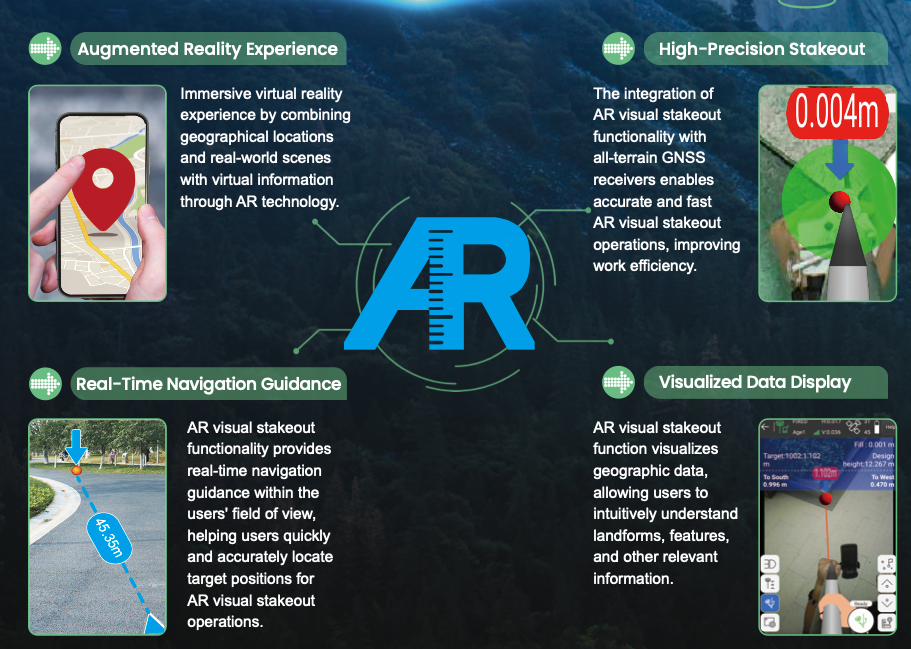
This technology allows the surveyor to accurately locate the position of a design feature or structure on a site using a GNSS receiver. Subsequently, an augmented reality image of the feature is overlaid onto the real-world view, enabling precise staking out of the location in accordance with design specifications.

The G40's innovative approach eliminates the need for repetitive pole adjustments and bypasses outdated compass-based systems, ensuring unparalleled accuracy without magnetic interference. Experience the future of surveying with the G40's real-time visual layout capabilities.

Features:
Quick Charge Built-in Battery
- Supporting USB 3.0/45W quick charge
- Charging time ≤ 3.5 Hours
- Battery Life ≥ 2000 Circles
New Antenna Combination
- Highly integrated GNSS,4G, WIFI, and Bluetooth antennas
- Powerful Performance. Smaller Size
Anti-Interference Technology
Advanced multi-frequency interference suppression and multi-step adaptive filtering technology ensures strong and stable signals in challenging conditions.
Professional Camera
- High-resolution Night vision camera
- Broad perspective, sophisticated algorithms guaranteeing the precision up to 1cm
- Seamlessly combining 360-degree AR layout and image layout
Network mode RTK:
The G40 is built with integrated 4G capability, enabling direct connection to an internet NTRIP caster. Additionally, it supports WiFi or Bluetooth connectivity to a phone, which can then be used to connect to an internet NTRIP caster, offering versatile options for network access.
Radio mode RTK:
G40 is compatible with all wel-known radio protocols, enabling point-to-point transmission of RTK correction data between devices via radio, eliminating the need for network connectivity.
WebUI support:
As soon as you connect your laptop or mobile phone to the G40 via WiFi, you can manage the device through its web-based user interface.
RTK ROVER AND BASE STATION:
G40 can be configured to function either as an RTK rover or as a RTK base station.
Technical Specifications:
POSITIONING
Channels 1408
GPS L1 C/A,L1C, L2P(Y), L2C, L5
GLONASS G1,G2,G3*
BEIDOU B1L,B2L,B3L,B1C,B2a,B2b*
GALILEO E1, E5a, E5b, E6*
QZSS L1,L2C,L5
Cold Start <12s
Initialization Time <5s
Initialization Reliability >99.9%
ACCURACY
Static Accuracy H:±2.5mm+0.5ppm
V:±5.0mm+0.5ppm
RTK Accuracy H:±8.0mm+1ppm
V:±15.0mm+1ppm
Time Accuracy 20ns
Update Frequency 20Hz
POWER
Battery Built-in Battery,6800mAh 3.6V
Duration ≥18.5h
Input 5V/2A DC
PHYSICAL
Material Magnesium alloy main body. ABS/PC top cover
Dimensions 130mm*130mm*70mm
Weight 750g
OPERATION
Button Power Button
Indicator Satellite,Datalink, Power
SYSTEM
Operation System Linux
Memory 8GB Internal Storage
Bluetooth V5.0, BLE
WIFI 802.11a/b/g/n
4G Network LTE FDD: B1/B2/B3/B4/B5/B7/B8/B12/
B13/B19/B20/B25/B26/B28
LTE TDD: B38/B39/B40/B41
UMTS: B1/B2/B4/B5/B6/B8/B19
GSM: B2/B3/B5/B8
Internal UHF Power: 1W
Frequency: 410~470MHz
Protocol: Gintec Work, TrimTalk450s(T), TrimMark III, SOUTH、PCC-EOT, Hi-Target, GeoTalk, GeoMark, SATEL
Tilt Survey IMU Tilt Survey Compatible with SurPad
CAMERA
2Mega CMOS image sensor
Optical Format 1/5 inch
Pixel Size 1.75um*1.75um
Active Pixel array 1616*1232
ENVIRONMENT
Operation Temperature -30℃~+65℃
Stock Temperature -40℃~+80℃
Waterproof Dustproof IP68
Shock and Vibration Withstanding 2m pole drop onto the cement ground
Humidity 99.9%
"CreateYours" professional surveying and mapping data collection Software Included
Each G40 Rover comes with a complimentary lifetime license for the CreateYours app, a professional Android-based application designed for precise positioning and data collection. The app is compatible with a wide range of surveying and mapping tools, providing G40 Rover users with advanced data collection and surveying capabilities right out of the box.

• Laser Survey Mode: Optimized for G50’s laser capabilities.
• Auto-Drawing: Automatically generate lines and polygons while collecting points.
• Base Map Options: Supports Google Maps, WMS, and CAD for accurate field visualization.
• CAD Tools: Powerful engine for precise design and polygon creation.
• Road Design & Staking: Simplifies road planning with intuitive tools.
• DSM-Based Terrain Staking: Efficiently handle complex terrain data.
• Team Collaboration: Share survey data effortlessly within teams with one-click transmission.
For detailed information about the CreateYours software, please visit our CreateYours product page.
Packing list:
- G40 GNSS receiver
- USB to Type-C Data Cable
- Type-C to Type-C Charging Cable
- 430-450 Hz Radio Antenna
- Charger and Adapter (EU/US/UK/KR/AU)
- Connector
- HI Measuring Plate
- Carrying Case
- 3 meters Measuring Tape
- Carbon Fiber Pole
- "CreateYours" software license
- P3 Handheld Data Collector (Optional)
G40 packing list diagram:

Product Resources
Official Documents:
YouTube Videos:
Software Downloads:
Tech Support Topics and Forums: