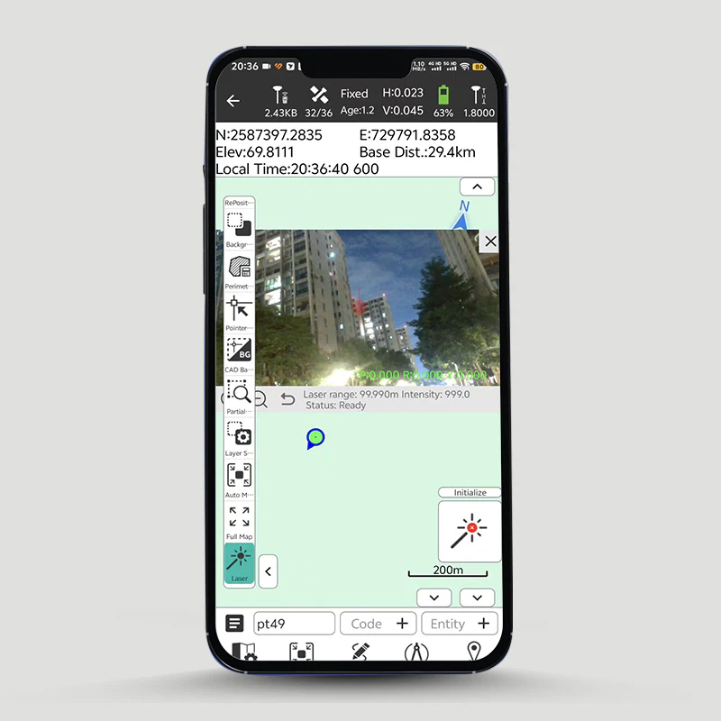
"CreateYours" professional surveying and mapping data collection Android app
"CreateYours" professional surveying and mapping data collection Android app
Country of Origin: China
Couldn't load pickup availability
Volume Discount Table
| Minimum Qty | Discount |
|---|---|
| 2 + | 5% off |
| 5 + | 7% off |
| 10 + | 10% off |
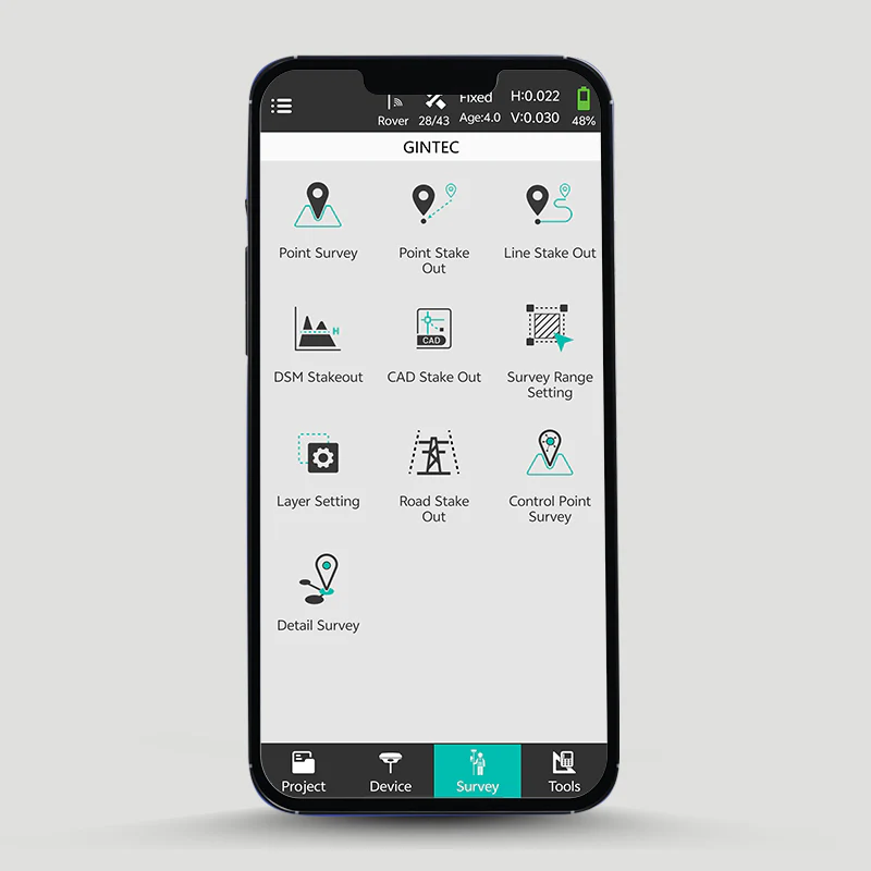
CreateYours is a professional surveying and mapping data collection software designed for a wide range of measurement applications, including land surveying, civil engineering, and construction staking. It delivers unparalleled simplicity in data collection and exceptional field calculation performance.
CreateYours integrates control for various GNSS, Total Station, and GIS devices while offering comprehensive CAD and road functions.

Key features:
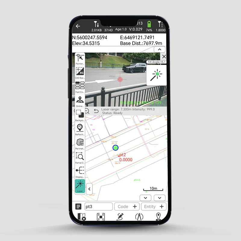
• Laser Survey Support: Optimized for Gintec G50 GNSS’s advanced laser capabilities.
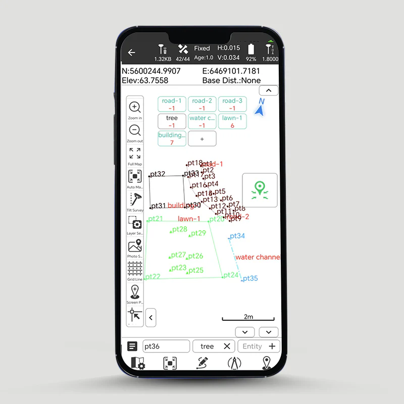
• Auto-Drawing: Automatically generate lines, polygons, and surfaces while collecting points.
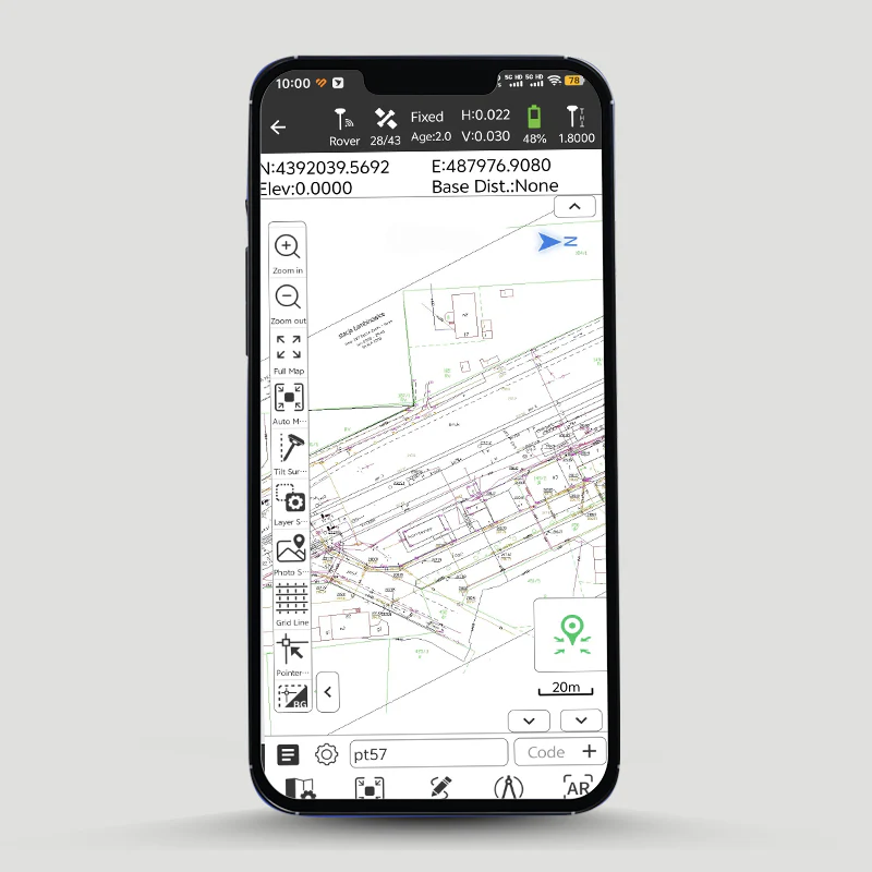
• Base Map Options: Supports Google Maps, WMS, and CAD for detailed and accurate field visualization.
• Comprehensive CAD Tools: Includes DXF and LandXML import/export, enabling precise design, polygon creation, and road planning.
• Road Design & Staking: Simplifies road planning with advanced roading, surfacing, slope staking, and terrain modeling for efficient handling of complex data.
• Graphical Staking: Offers grid, compass, and map views for precise staking and layout.
• Full RTK Support: Ensures high-accuracy positioning and measurement.
• Local Geoid and Grid File Support: Compatible with local geoid and grid files for enhanced localization.
• Team Collaboration: Enables effortless data sharing within teams with one-click transmission.
CreateYours stands out with its powerful features, intuitive operation, and user-friendly interface, making it an ideal solution for professionals in the field.
Product Resources
Official Documents:
Software Downloads:
Tech Support Topics and Forums:

