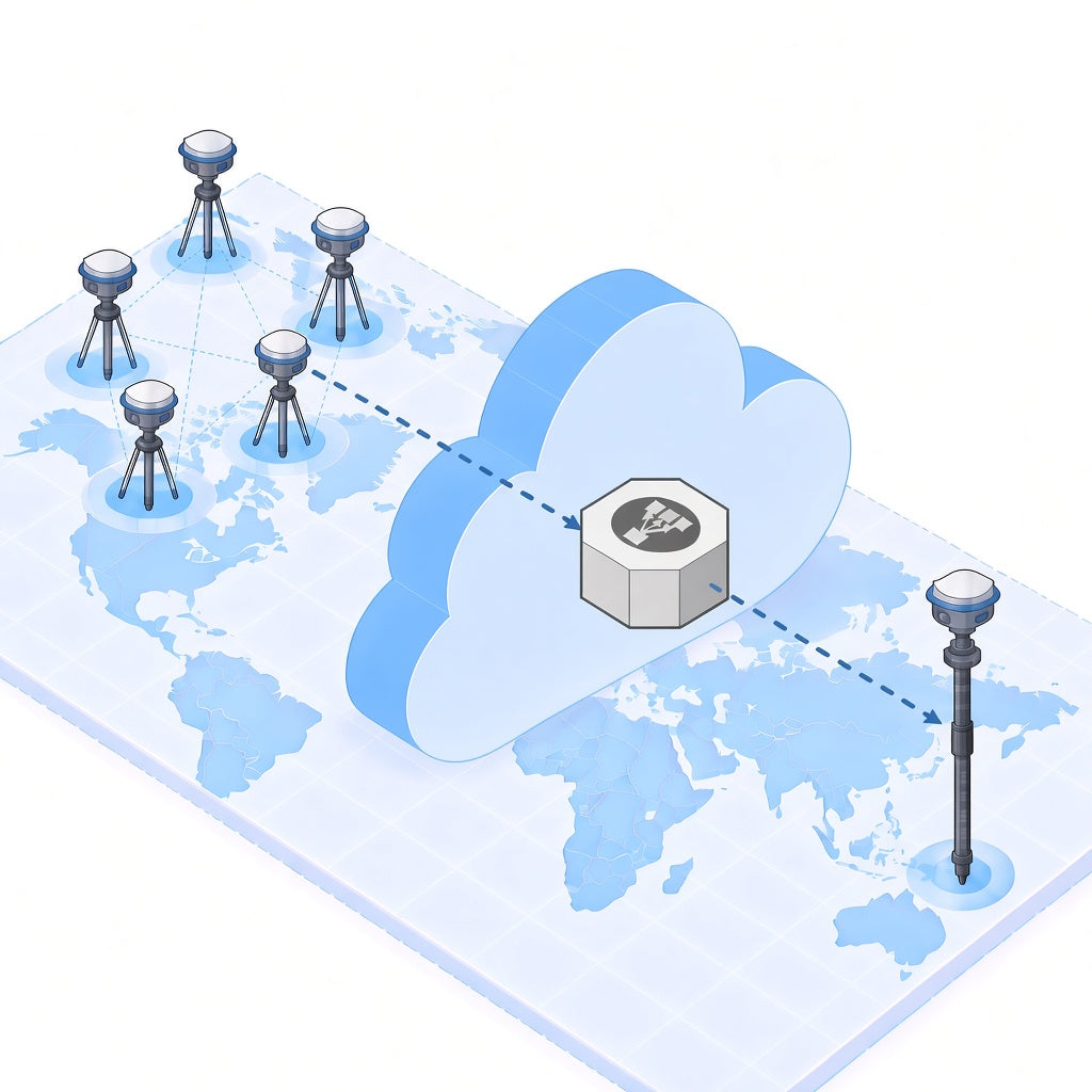

GeoAstra World-Wide RTK NTRIP Service
GeoAstra World-Wide RTK NTRIP Service
Country of Origin: Canada
Couldn't load pickup availability
GeoAstra World-Wide RTK NTRIP Service
Stream RTK corrections over NTRIP to any RTK GNSS receiver for centimeter-level positioning—without owning or operating your own base station.
- 1–2 cm horizontal / 2–3 cm vertical positioning accuracy
- No need to own or set up your own RTK base
- World-wide coverage with more than 20,000 GNSS reference stations
- Compatible with any NTRIP-enabled RTK GNSS receiver
Service at a Glance
A ready-to-use NTRIP correction service for survey, drone, agriculture, construction and robotics workflows that need reliable centimeter-class RTK positioning.
Centimeter Accuracy
Typical performance of 1–2 cm horizontal and 2–3 cm vertical when coverage, receiver quality and sky view support an RTK fix.
Global Reference Network
Access a network of more than 20,000 GNSS reference stations with automatic nearest-mountpoint selection.
Works With Your Rover
Connect any NTRIP-capable RTK GNSS receiver using standard NTRIP and RTCM 3.2 (MSM4) corrections.
No Base Station Required
Start working without purchasing, transporting or configuring your own RTK base for everyday field jobs.
14-Day Free Trial
No Credit Card or Checkout Required
Create your account on the GeoAstra World-Wide NTRIP portal, then start a one-time 14-day free trial from your dashboard. Evaluate coverage and connection quality before you purchase a paid subscription on this product page.
After sign-up, open Service Status and choose Start a 14-day free trial. Activation is self-serve.
What’s Included
Every paid plan delivers the same service features. Choose Monthly or Yearly on this Shopify product page; pricing is shown in the purchase options above.
Correction Performance
- 1–2 cm horizontal / 2–3 cm vertical accuracy
- World-wide coverage
- Corrections typically available in under 1 second
- Network with more than 20,000 base stations
- No usage caps
Compatibility & Workflow
- NTRIP with RTCM 3.2 (MSM4)
- Works with any NTRIP-capable RTK GNSS receiver
- Automatic nearest mountpoint selection
- Multi-constellation GNSS support
- Free NTRIP caster mountpoint for your own RTK base
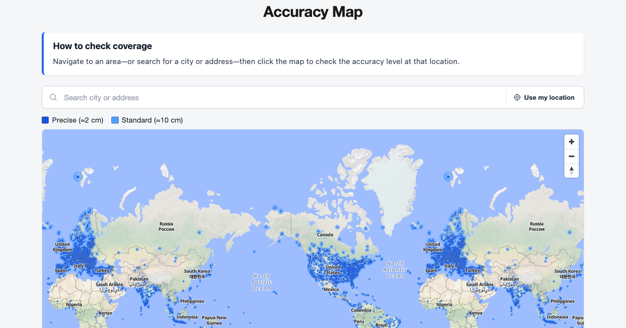
Accuracy Map
Check indicative coverage before you buy. Open the live Accuracy Map on the service portal, search a city or address, then click the map to review the accuracy level at that location.
Built for Real Field Work Across Industries
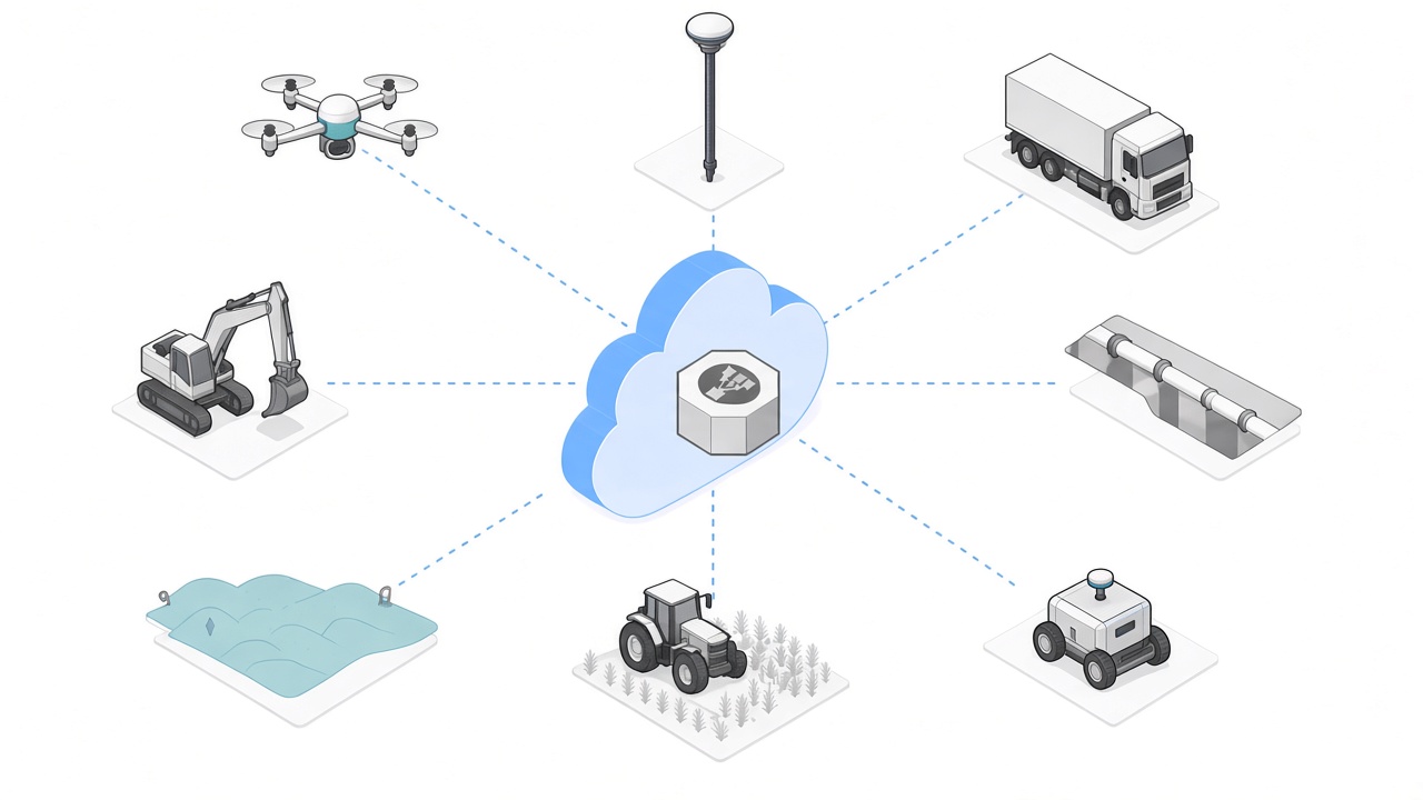
From Surveying to Agriculture
Use the same World-Wide RTK NTRIP service wherever your crews, machines or autonomous platforms need reliable centimeter-level positioning.
Pair the service with your existing NTRIP-enabled RTK GNSS hardware—no proprietary receiver lock-in.
Drones
Stabilize UAV flight paths, support precision mapping and enable autonomous navigation with centimeter-accurate RTK positioning.
Surveying
Deliver reliable corrections for boundary surveys, cadastral work and topographic measurements wherever your crew operates.
Transportation
Power fleet tracking, road mapping and railway alignment with real-time, high-precision RTK corrections for mobility workflows.
Construction
Achieve sub-2 cm accuracy for site layout, machine control and infrastructure projects with continuous RTK GNSS corrections.
Utilities
Position fiber routes, power grids and underground pipelines with confidence—reducing stakeout errors and costly rework.
Environmental Monitoring
Support climate studies, geological mapping and ecosystem surveys with stable, centimeter-class RTK corrections in the field.
Agriculture
Optimize auto-steering, drone spraying and precision planting with real-time corrections built for high-efficiency farming.
Robotics
Guide outdoor AGVs and industrial robots with centimeter-level RTK positioning in open yards and production sites.
How It Works
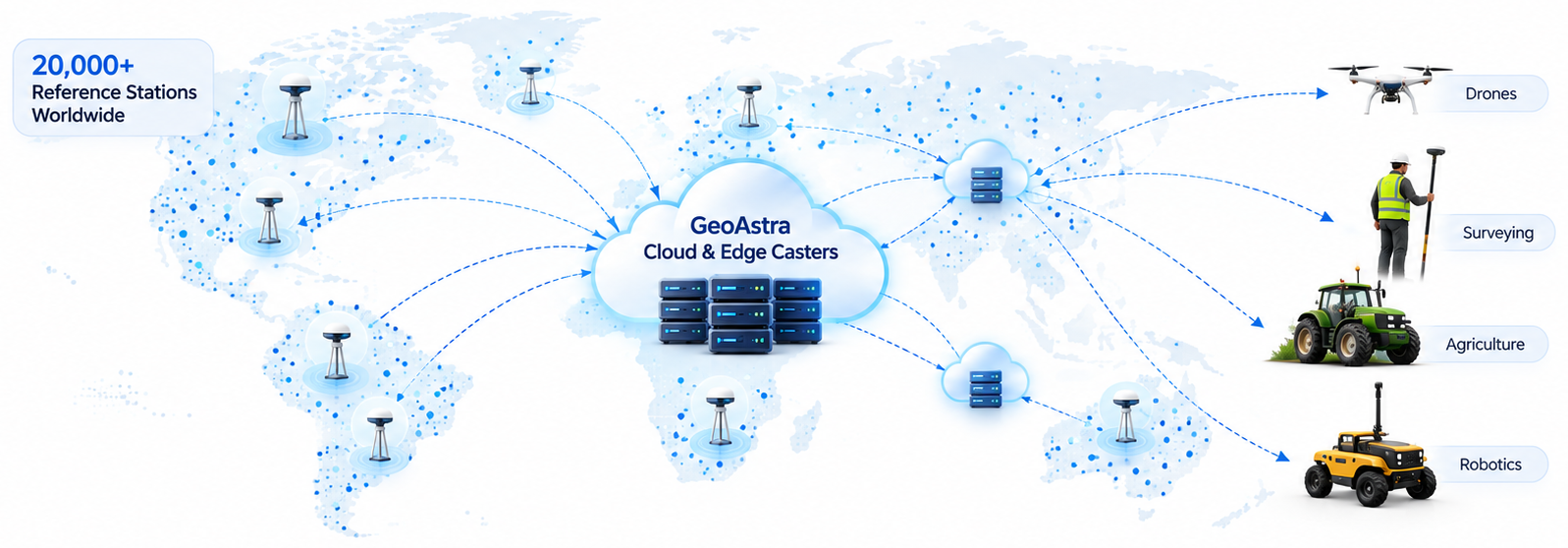
Reference stations measure satellite errors, GeoAstra casters deliver the nearest high-quality stream, and your rover reaches an RTK fix in seconds.
20,000+ Reference Stations
A global network of GNSS reference stations continuously measures satellite errors and streams them as RTCM corrections.
Cloud & Edge Casters
GeoAstra NTRIP casters aggregate and monitor stations, then deliver the nearest, highest-quality corrections to users around the world.
Your RTK Rover
Your receiver sends NMEA GGA to the caster and receives real-time corrections from the nearest station, typically achieving an RTK fix in seconds.
Get Started After Purchase
Activate Your License Key on the Portal
- Complete checkout on this Shopify product page and receive your GeoAstra activation key by email.
- Sign in at world-wide-ntrip.geoastra.com.
- Open License, enter the key, and activate. Existing service time is extended automatically when you activate an additional paid key.
- Copy NTRIP host, port, mountpoint, username and password from Credentials into your rover.
Need a custom deployment or integration? Email info@geoastra.com.
Documentation
World-Wide NTRIP User Manual
Trial, Activation and Connection Setup
Open the user manual for step-by-step guidance on the free trial, paid license activation, NTRIP credentials and the Accuracy Map.
Questions about coverage, billing or integration? Contact info@geoastra.com.